• Peer Review
  • Non-profit
  • Global Open Access
  • Green Channel for Rising Stars
Volume 3 Issue S1
Jul.  2020
Turn off MathJax
Article Contents

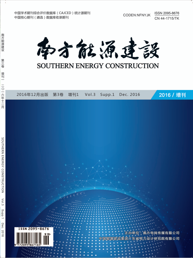
YI Yongqiang, XI Jianfei, LEI Weigang. Grid GIS Multi-source Multi-temporal Study on Multi-resolution Spatial Data Quality Control Technology System[J]. SOUTHERN ENERGY CONSTRUCTION, 2016, 3(S1): 122-125. doi: 10.16516/j.gedi.issn2095-8676.2016.S1.026
Citation: YI Yongqiang, XI Jianfei, LEI Weigang. Grid GIS Multi-source Multi-temporal Study on Multi-resolution Spatial Data Quality Control Technology System[J]. SOUTHERN ENERGY CONSTRUCTION, 2016, 3(S1): 122-125. doi: 10.16516/j.gedi.issn2095-8676.2016.S1.026

Grid GIS Multi-source Multi-temporal Study on Multi-resolution Spatial Data Quality Control Technology System

doi: 10.16516/j.gedi.issn2095-8676.2016.S1.026
  • Received Date: 2016-02-01
  • Publish Date: 2020-07-17
  • In this paper, according to the China Southern Power Grid Spatial Information Service (GIS) platform construction,Combined with electronic map and grid resources data quality status of each sub province company,Proposed suits the data of current technology of spatial data quality control system. And for each one of the key links in the technology system are carried out technical realization, Through the area proved to be scientific and economic benefits of the technology system. Further the technology system of landing long-term control mechanism for quality control, Provide technical support for spatial data for long-term stable operation of the GIS platform.
  • 通讯作者: 陈斌, bchen63@163.com
    • 1. 

      沈阳化工大学材料科学与工程学院 沈阳 110142

    1. 本站搜索
    2. 百度学术搜索
    3. 万方数据库搜索
    4. CNKI搜索

Article Metrics

Article views(204) PDF downloads(22) Cited by()

Related

Grid GIS Multi-source Multi-temporal Study on Multi-resolution Spatial Data Quality Control Technology System

doi: 10.16516/j.gedi.issn2095-8676.2016.S1.026

Abstract: In this paper, according to the China Southern Power Grid Spatial Information Service (GIS) platform construction,Combined with electronic map and grid resources data quality status of each sub province company,Proposed suits the data of current technology of spatial data quality control system. And for each one of the key links in the technology system are carried out technical realization, Through the area proved to be scientific and economic benefits of the technology system. Further the technology system of landing long-term control mechanism for quality control, Provide technical support for spatial data for long-term stable operation of the GIS platform.

YI Yongqiang, XI Jianfei, LEI Weigang. Grid GIS Multi-source Multi-temporal Study on Multi-resolution Spatial Data Quality Control Technology System[J]. SOUTHERN ENERGY CONSTRUCTION, 2016, 3(S1): 122-125. doi: 10.16516/j.gedi.issn2095-8676.2016.S1.026
Citation: YI Yongqiang, XI Jianfei, LEI Weigang. Grid GIS Multi-source Multi-temporal Study on Multi-resolution Spatial Data Quality Control Technology System[J]. SOUTHERN ENERGY CONSTRUCTION, 2016, 3(S1): 122-125. doi: 10.16516/j.gedi.issn2095-8676.2016.S1.026

Catalog

    /

    DownLoad:  Full-Size Img  PowerPoint
    Return
    Return